The airport is a decision, not a detail
Most travelers pick a Colorado airport the way they pick any airport: by fare and flight time. In this state that is the wrong order of operations, because the ground leg is not a rounding error. Landing at Eagle County puts a Vail guest 46 minutes from the hotel. Landing at Denver International puts the same guest 121 miles and roughly two and a half hours out, over Vail Pass, in whatever the weather is doing. Both are legitimate choices. They are not the same trip, and the cheaper flight is frequently the more expensive day.
So here is every field we serve, with the two numbers that matter and an honest note on what each one is good for. We hold Colorado PUC authority LL-04689 statewide, which means the answer to do you cover that airport is yes for all of them.
The six fields with their own guide
These carry the majority of our airport volume. Each has a dedicated page with meet-and-greet detail, rates and FAQs.
| Code | Airport | Field elevation | Service type | Reference drive | Guide |
|---|---|---|---|---|---|
| DEN | Denver International | 5,434 ft | Full commercial hub, 24/7 | 26 mi / 38 min to downtown Denver | DIA car service |
| EGE | Eagle County Regional | 6,547 ft | Seasonal commercial, winter-heavy | 36 mi / 46 min to Vail | EGE car service |
| ASE | Aspen/Pitkin County | 7,820 ft | Commercial, weather-sensitive | 4 mi / 9 min to Aspen | ASE car service |
| APA | Centennial | 5,885 ft | Private aviation only | 19 mi / 29 min to downtown Denver | APA car service |
| BJC | Rocky Mountain Metropolitan | 5,673 ft | Private aviation only | 18 mi / 29 min to downtown Denver | BJC car service |
| RIL | Rifle Garfield County | 5,537 ft | Private aviation, 7,000 ft runway | 66 mi / 1h31 to Aspen | RIL car service |
What each field is good for
DEN · Denver International
Field elevation 5,434 ft · Full commercial hub, 24/7
Everything Front Range, and any mountain trip where flight options matter more than drive time
EGE · Eagle County Regional
Field elevation 6,547 ft · Seasonal commercial, winter-heavy
Vail and Beaver Creek — cuts the DEN drive from 2h29 to 46 min
ASE · Aspen/Pitkin County
Field elevation 7,820 ft · Commercial, weather-sensitive
Aspen and Snowmass, when the flight operates
APA · Centennial
Field elevation 5,885 ft · Private aviation only
Business aviation into south metro — five FBOs on field
BJC · Rocky Mountain Metropolitan
Field elevation 5,673 ft · Private aviation only
Boulder, Broomfield and north metro private arrivals
RIL · Rifle Garfield County
Field elevation 5,537 ft · Private aviation, 7,000 ft runway
The Aspen workaround — no curfew, no wingspan limit, no slot pressure
Also served, no dedicated guide yet
We run these routinely. They just do not have enough volume to justify their own page, so the destination page carries the detail.
| Code | Airport | Field elevation | Reference drive | Best for |
|---|---|---|---|---|
| GJT | Grand Junction Regional | 4,861 ft | 128 mi / 2h34 to Aspen | Western Slope and wine country |
| MTJ | Montrose Regional | 5,759 ft | 134 mi / 3h27 to Aspen | The usual commercial gateway to Telluride |
| TEX | Telluride Regional | 9,070 ft | 201 mi / 5h02 to Aspen | Highest commercial-service field in the US — private aviation, frequent diversions |
| HDN | Yampa Valley (Hayden) | 6,606 ft | 157 mi / 3h04 to Denver | Steamboat Springs in winter |
| LXV | Lake County (Leadville) | 9,934 ft | 41 mi / 57 min to Vail | Highest public-use airport in North America — GA only |
| COS | Colorado Springs | 6,187 ft | 70 mi / 1h12 to Denver | Pikes Peak region and Air Force Academy arrivals |
Two things nobody tells you before you book the flight
Altitude is a schedule item
Denver International sits at 5,434 feet, which is already higher than any other major US hub. If your itinerary continues to Breckenridge at 9,600 feet or Leadville at 10,152 feet, you will gain most of that in under two hours in a warm quiet car, which is the fastest way a body can be asked to do it. The practical version: drink water on the flight and in the car, go light on alcohol the first evening, and do not schedule anything strenuous on day one. Our chauffeurs carry water. Ask.
High fields cancel more than low fields
Aspen has a 95-foot maximum wingspan, a county curfew with no departures after 10:30 p.m., and a mountain approach that closes in weather. Telluride diverts to Montrose regularly. Eagle County has its own winter diversion pattern. This is not a reason to avoid these airports — it is a reason to book ground transportation with someone who watches the aircraft rather than the published schedule. When a flight diverts, we hold the driver assignment and reposition to wherever it actually landed. We do not cancel a reservation because a flight moved, and we never cancel it without hearing from you.
The two guides worth reading before you commit to a field: EGE or DEN for Vail and Beaver Creek and ASE or DEN for Aspen. Both run the real cost and reliability comparison rather than the flattering one.
Airport questions we get most
Which Colorado airport should I fly into?
It depends on the destination, not on the fare. For anywhere on the Front Range, Denver International is the answer and there is no close second. For Vail or Beaver Creek, Eagle County (EGE) is 36 miles and 46 minutes from Vail against 121 miles and about 2 hours 29 minutes from DEN. For Aspen, Aspen/Pitkin County (ASE) is 4 miles and 9 minutes out, but it is the most weather- and curfew-constrained field in the state, so DEN at 223 miles remains the reliable fallback. For Steamboat, Yampa Valley (HDN). For Telluride, Montrose (MTJ) rather than Telluride Regional (TEX) unless you are on a private aircraft.
Does Arion serve every Colorado airport?
Yes, including the general-aviation and FBO-only fields. We hold Colorado PUC authority LL-04689, which covers the whole state, and we run scheduled ground transportation to and from DEN, EGE, ASE, APA, BJC, RIL, GJT, MTJ, TEX, HDN, LXV and COS. Drive time is the only thing that changes; the standard of service does not.
What is the highest airport in Colorado?
Lake County Airport at Leadville sits at 9,934 feet and is the highest public-use airport in North America. It is general aviation only. Telluride Regional at 9,070 feet is the highest airport in the United States with scheduled commercial service. Aspen/Pitkin County is about 7,820 feet, which is why its performance restrictions are as tight as they are.
Why does field elevation matter to my ground transportation?
Two reasons. First, high-elevation fields impose real aircraft performance limits, which is why Aspen has a 95-foot maximum wingspan and why diversions to Rifle or Eagle County happen more often than most travelers expect — we track the aircraft, not the schedule, and reposition when a flight diverts. Second, if you land at 5,434 feet at DEN and your hotel is at 8,150 feet in Breckenridge, you gained most of that altitude in under two hours. Hydrate, go easy on alcohol the first evening, and plan a slower first day.
Do you meet private aircraft at the FBO?
Yes. We meet at the FBO door rather than at a terminal curb, and we track the tail number so the car is in position when the aircraft blocks in. Our published FBO directory lists every operator on every field we serve, along with the drive time from each one.
Which airport should I use if Aspen is closed?
Aspen/Pitkin County closes for runway reconstruction from April 4 through November 19, 2027, and it also closes routinely for weather and the county night curfew. Rifle (RIL) is the best substitute at 66 miles and about an hour and a half, with a 7,000-foot runway, no wingspan limit and no curfew. Eagle County (EGE) is 69 miles and about an hour and a half. Grand Junction (GJT) is 128 miles. We hold the driver assignment until the aircraft is on the ground somewhere, so a diversion does not cost you the car.
Tell us the tail number or the flight number
We track it, meet it where it actually lands, and get your people to the door. Any field in Colorado.
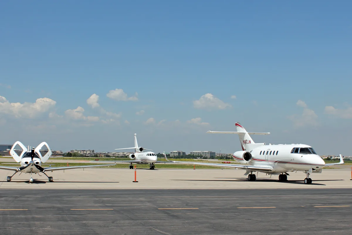
Last reviewed: September 13, 2026 by Arion dispatch. Field elevations from FAA and AirNav records. Airport hours, commercial service and drive times change; call (970) 703-4995 for current details. Apron photo: Wikimedia Commons, CC BY 3.0.