The Question
It comes up on the drive out of Denver, somewhere past Golden when the plains have disappeared behind you. Somebody in the back seat looks at the map on their phone, sees a tidy little box, and says the thing everybody says: Colorado is one of the rectangle states.
It isn't. That part is easy to prove. What is harder, and more interesting, is what happens when you try to find out exactly how un-rectangular it is.
The Assumption
Congress created the Territory of Colorado on February 28, 1861, and drew it entirely out of numbers. No rivers. No ridgelines. No coast, obviously. The Organic Act described the territory as running from the 37th parallel of north latitude up to the 41st, and from the 25th meridian west of Washington across to the 32nd. The text of the act reads like a legal description of a filing cabinet:
“commencing on the thirty-seventh parallel of north latitude, where the twenty-fifth meridian of longitude west from Washington crosses the same; thence north on said meridian to the forty-first parallel of north latitude…”
On paper, that is a rectangle. It stayed one for about seven years.
Here is the part that surprises people who assume old surveys were sloppy work by careless men. They weren't careless. They were working at the limit of what could be done with the tools of the time, and they knew it. The disagreement between one crew's line and the next crew's line is not a story about incompetence; it is a story about precision being expensive and the country being in a hurry.
Colorado was in a particular hurry. Gold had already pulled tens of thousands of people into the mountains, and territorial government followed the money. Somebody had to say where the tax authority stopped, and they had to say it before anybody could measure it properly. The rectangle was a promise the surveyors were then sent out to keep, and keeping it exactly turned out to be impossible.
The Rabbit Hole
Then somebody had to go outside and mark it.
In 1867 Congress paid for a survey of the 37th parallel where it forms the northern boundary of New Mexico. The General Land Office hired a surveyor and astronomer named Ehud N. Darling, and in 1868 he ran the line. The Supreme Court later summarized his work in a single dry sentence that hides an enormous amount of walking:
“He… surveyed and marked the line of the parallel, as determined by astronomical observations and calculations for latitude, westwardly to the 109th meridian, a distance of over 331 miles. As shown by the field notes he established on this line eleven ‘astronomical monuments,’ with ‘mile corners’…”
Three hundred and thirty-one miles. Latitude fixed by star observation. Equipment hauled by mule. A man doing that does not produce a mathematically perfect line. He produces a very slightly wandering one, and every wander he leaves behind becomes somebody's property line, water right and tax bill.
New Mexico eventually sued over it. In 1925 the Supreme Court decided New Mexico v. Colorado, 267 U.S. 30, and held that the line Darling marked, errors included, was the boundary:
“The remainder of the line as surveyed and marked by Darling… must likewise be held to be the recognized and established boundary.”
That is the whole idea, and it is a genuinely good one. Fifty years of people living, farming and paying taxes on the assumption of a line beats a mathematically better line drawn later. Certainty is worth more than precision.
Colorado's own constitution still carries the 1861 geometric description, and the state's official statute volume adds a note that quietly admits the whole problem. The editor's note to Article I says it plainly:
“As a result of a survey that was performed in the 1800's, the actual boundaries of the state of Colorado differ from the legal description of the boundaries in Article I of the state constitution.”
Colorado's written border and Colorado's real border are two different things, and the state says so in print.
Consider what that survey actually involved. To fix latitude you wait for dark, sight a star at its highest point, time it, and do the arithmetic. Then you chain the distance to the next corner, set a stone or a mound of earth, and write it in the field book. Repeat until you have crossed a state. Do it in country with no roads, in weather that does not care, with instruments that are accurate to within a comfortable margin and no further. Darling's crew did that for 331 miles and eleven astronomical monuments, and the mile corners in between are the reason the line bends.
Those field notes are the whole ballgame. Not the map. Not the constitution. The notebook. When the states fought about it sixty years later, the court did not ask what the boundary should have been. It asked what Darling wrote down and what people had relied on since.
The History
The line has been re-walked more than once. Darling in 1868, then later crews, and finally a court-appointed commissioner named Joseph C. Thoma, whose report the Supreme Court accepted in New Mexico v. Colorado, 364 U.S. 296 (1960), establishing the marked line “to be the true boundary.” It took ninety-two years from Darling's survey to the last word on it.
The Modern Answer
Now the part where this article does something the internet mostly refuses to do.
You have seen the number 697. Colorado, a 697-sided polygon. It is on posters. It is in trivia articles. It has its own tongue-twister of a Greek name that gets copied from page to page.
We went looking for the source. There isn't one. Every version of the claim traces back to another blog or listicle, and none of them cite a survey, a dataset, or a government document explaining how anyone arrived at 697. No federal or state agency publishes that figure. And there is a good reason to be suspicious of it: counting the “sides” of a hand-marked boundary means counting vertices in somebody's digital map file, and that count changes with the resolution of the file. Digitize the same border more finely and you get more sides. It is not a fixed quantity. It is an artifact of measurement.
The real answer beats the trivia answer. Colorado has four sides on paper and an unknowable number of sides on the ground, because the ground version was walked by a man with a transit in 1868 and the Supreme Court decided in 1925 that his walking was legally final.
One more claim worth handling carefully: you will hear that Colorado, Wyoming and Utah are the only states whose borders follow no river, ridge or coastline. Colorado's own founding act, quoted above, uses nothing but latitude and longitude, so that part is documented. The “only three” superlative we could not verify against any authoritative source, so we are not going to print it as fact. Say it the safe way: Colorado's border was drawn entirely out of numbers, the way Wyoming's and Utah's were.
What that means on the ground is that the state line is a physical thing, not an abstraction. It was marked with stone and brass by people who had to eat and sleep out there while they did it. When you cross into Utah on I-70, or drop south into New Mexico on US-285, the line under your tires is where somebody's transit said it was on a particular night in the 1860s, ratified by nine Supreme Court justices in 1925 and re-walked by a court's own commissioner in 1960.
We drive these lines constantly, and mostly they are invisible — a sign, a change in pavement quality, a different speed limit. Knowing that the sign is standing where a surveyor's monument put it, rather than where the math wanted it, is one of those facts that permanently changes what you are looking at out the window.
Dispatch Notes
Drafted for Jim — replace this block with the real one. Where were you when this came up, who asked, and what did you say before you knew the answer? The honest version, including the part where the rectangle was the answer you'd been giving for years.
Sources
- An Act to provide a temporary Government for the Territory of Colorado, 12 Stat. 172 (Feb. 28, 1861) — U.S. Statutes at Large, via govinfo.gov
- New Mexico v. Colorado, 267 U.S. 30 (1925) — the Darling survey and the marked-line rule
- New Mexico v. Colorado, 364 U.S. 296 (1960) — final re-marking of the boundary
- Constitution of the State of Colorado, Article I, with editor's note — Colorado Revised Statutes 2024, Office of Legislative Legal Services
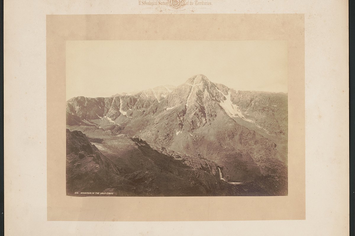
- William Henry Jackson, “Mountain of the Holy Cross,” 1873 — Library of Congress; no known restrictions on publication
Frequently Asked Questions
How many trips has Arion completed?
3,272 completed transfers across Colorado since opening on October 17, 2025 with one driver and one vehicle, covering 650,000+ miles.
Has Arion had any accidents?
Zero accidents in more than 650,000 miles. One speeding ticket — no passengers on board, nobody hurt, fine paid.
What percentage of Arion's trips are airport transfers?
More than half — 1,851 of our 3,272 completed transfers since we opened included an airport pickup or drop-off, most of them DEN, plus 490 Eagle County (EGE) transfers into Vail and Beaver Creek. Airport work is heaviest December through March.
Does Arion operate during Colorado snowstorms?
Yes. We've worked through every major Colorado winter storm since opening in October 2025. When flights cancel, the highway becomes Plan B — and demand usually spikes all at once.
How many repeat clients does Arion have?
68% of reservations come from returning clients, and 80% of revenue came from repeat clients.
What does it cost to maintain a luxury SUV fleet in Colorado?
Across 650,000+ miles: $120,807 in fuel, $129,600 in commercial insurance, roughly $12,000 across 83 oil changes, about $25,000 in tires (16 sets of four, plus spares), and $33,611 in routine maintenance covering hoses, transmissions, engines, water pumps, batteries and labor — $70,611 in upkeep on top of fuel and insurance. Mountain driving wears vehicles faster than city driving, and the maintenance schedule reflects that.
How do I book Arion transportation?
Call (970) 703-4995 or visit ridearion.com/contact for a free quote on your itinerary.
Do you offer point-to-point trips as well as hourly service?
Both. Point-to-point is priced for a single transfer such as home to DEN or hotel to a venue. Hourly (as-directed) service keeps the same chauffeur and vehicle for dinners, meetings, tours, and multi-stop nights.
Can I set up a recurring or corporate account?
Yes. Recurring commuters, executive assistants, hotels, and event planners get a standing profile with preferred vehicle, saved addresses, consolidated monthly statements, and priority dispatch.


